Spring Runoff and Colorado Hot Springs: The Timing Guide That Could Save Your Soak
Field-verified Colorado hot spring guides written by an outdoor content veteran with 20 years of experience.
- August 15, 2026
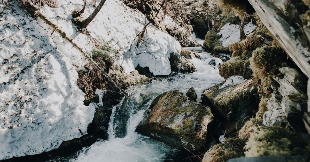
Photo by Drew Dempsey via Pexels
Every May, Colorado's lower-elevation hot springs transform. The pools that felt perfectly toasty in March become tepid by Memorial Day, and some access roads vanish under rushing snowmelt. Meanwhile, higher-elevation soaks remain unreliable well into July. The difference between a memorable soak and a miserable, dangerous one often comes down to understanding one phenomenon: spring runoff.
Snowmelt runoff, the seasonal surge of water from melting snowpack entering rivers, streams, and the pools fed by them, directly affects most of Colorado's natural hot springs. This is not a minor inconvenience. At peak runoff, which the Natural Resources Conservation Service tracked at 147% of median snowpack statewide in spring 2023, certain soaks become impassable, others drop to bathwater temperatures, and the rivers flanking popular sites can turn lethal. The good news: with the right knowledge and one or two real-time data checks, you can plan around runoff entirely. This guide gives you that knowledge.
The springs most affected by runoff
Certain hot springs sit directly in the floodplain of snowmelt-swollen rivers. Their proximity to water is part of what makes them special, but it makes them vulnerable too.
Penny Hot Springs, located along the Roaring Fork River roughly 30 minutes outside of Aspen, shows this vulnerability clearly. The springs emerge from gravel bars in the river corridor itself, and during peak runoff, the lower pools often sit partially or fully submerged. Even when accessible, water temperatures that normally hover around 102°F in the deeper pools can drop to 80°F or lower as cold river water dilutes the geothermal outflow. Soakers in May and early June frequently report sitting in what amounts to a cold river bath, not the hot soak they traveled for. The Forest Service road accessing the springs may also become impassable due to flooding, and parking areas can vanish under several feet of water.
Conundrum Hot Springs, a 17-mile round-trip hike into the Maroon Bells-Snowmass Wilderness, faces serious challenges of a different kind. The springs sit beside a creek that drains a high-elevation basin still holding deep snowpack well into June. During runoff, that creek becomes a fast-moving torrent that can make crossing to certain pools dangerous or impossible. Water temperatures in the creek-fed lower pools fluctuate dramatically, and the trail to the springs crosses several snow bridges that may not hold a person's weight. Search and rescue operations in the Maroon Bells wilderness during late May and early June routinely involve hikers who underestimated these conditions.
Similar dynamics affect Hot Springs in the lower Crystal River drainage near Redstone, springs along the Eagle River corridor, and virtually any soak positioned at low elevation adjacent to a mountain river. The pattern is consistent: proximity to a live river system means direct exposure to whatever that river is doing.
Elevation zones and the runoff calendar
Colorado's topography creates a roughly six-week spread in when different springs hit peak runoff vulnerability. Understanding which elevation zone your target spring occupies lets you estimate your risk window with reasonable accuracy.
Below 8,500 feet, where most of Colorado's developed and easily accessed hot springs are located, runoff typically peaks between mid-April and mid-June. This zone sees the earliest effects because snow melts faster at lower elevations and drains into river systems quickly. Springs in this range—Penny, Glenwood Springs, the Iron Mountain Hot Pools near Poncha Springs—may experience degraded conditions as early as late April in warm years and generally don't stabilize until mid-to-late June.
Between 8,500 and 10,000 feet, the window shifts to late May through mid-July. This range is where many popular backcountry springs fall, and it means that springs like those in the San Juan Mountains or along the Arkansas River headwaters remain unpredictable long after lower-elevation pools have cleared. Snow lingers on north-facing slopes and in cirques well into July at these elevations, and a single warm storm can trigger a fresh surge of meltwater.
Above 10,000 feet, peak runoff extends from early June through mid-July, and in heavy snowpack years, conditions can persist into August. Conundrum Hot Springs at approximately 11,200 feet sits in this zone, which explains why July 4th weekend often marks the earliest reliable access. Some high-country soaks accessible only by long hike or four-wheel-drive road may not clear until mid-July.
The Colorado Snow Survey publishes weekly data on snowpack percentages by basin, and this information provides a general forecast. But snowpack percentage alone does not tell you when you will see runoff effects at a specific spring. It tells you whether the year's runoff is likely to be extended (high snowpack) or brief (low snowpack). For timing your specific visit, real-time river data matters more.
What happens to water temperatures
The temperature dynamics of runoff are worth understanding, because they affect both comfort and safety.
Natural hot springs exist because geothermal water rises through the earth's crust, cooling as it emerges and mixing with whatever surface water is present. In a stable system, this balance produces the consistently hot pools soakers expect. Typically these range from 100°F to 112°F depending on the specific spring. During runoff, that balance shifts dramatically.
When cold snowmelt enters a spring system, whether through the feeding creek, groundwater infiltration, or direct flooding of lower pools, it dilutes the geothermal water and drops temperatures. At Penny Hot Springs during peak runoff, measurements taken by local soaking communities have recorded temperatures as low as 72°F in lower pools. Essentially cold river water with a hint of warmth from below. Upper pools that sit further from the river and draw more directly from geothermal fractures may hold closer to 95°F to 100°F, but these are often the first to become inaccessible as water rises.
The safety concern extends beyond uncomfortable temperatures. Cold water immersion, even in water that does not feel freezing, impairs muscle function and increases drowning risk. When combined with the physical exertion of hiking to a backcountry spring, a soaker who enters water that is significantly colder than expected faces real physiological risk. Hypothermia can set in even in 60°F water with extended exposure, and Colorado's high altitude accelerates the process.
Using USGS stream gauge data
The United States Geological Survey maintains a network of stream gauges throughout Colorado that provide real-time river flow measurements. These gauges measure discharge in cubic feet per second (cfs), and they offer objective, current data for planning a hot springs visit during runoff season.
For springs along the Roaring Fork River, the USGS gauge 09081600 at the Roaring Fork River near Aspen provides the relevant data. At base flow in late summer, this gauge typically reads between 100 and 200 cfs. During peak runoff, readings commonly exceed 2,000 cfs and have topped 3,000 cfs in high-snowpack years. A reading above 1,000 cfs indicates significant runoff activity that will affect Penny Hot Springs.
For springs along the Crystal River, the USGS gauge 09362000 at the Crystal River near Redstone tracks conditions relevant to Hot Springs Creek and adjacent soaks. Base summer flows of 150 to 300 cfs typically jump to 1,500 to 2,500 cfs during peak runoff.
For the Eagle River corridor, USGS gauge 09070000 at the Eagle River near Minturn provides data relevant to springs in that drainage. Similar patterns apply. Base flows in the 200 to 400 cfs range jump to 1,500 cfs or higher during snowmelt.
The USGS WaterWatch website at waterwatch.usgs.gov provides color-coded maps showing current streamflow conditions relative to historical norms. For a specific gauge, you can view a hydrograph showing the past seven days of readings alongside the historical average for that date. The most useful approach: check the morning of your planned visit, note the current reading, and compare it to the typical range shown on the hydrograph.
A few notes on using this data. River conditions can change rapidly with warm weather, afternoon storms, or upstream snowmelt. A morning reading that looks manageable can become dangerous by afternoon. Some remote springs sit on smaller tributaries that do not have dedicated USGS gauges. In these cases, check the nearest gauge on the same drainage system and use your judgment. If major rivers are running high, smaller tributaries almost certainly are too.
Springs that remain unaffected
Not every Colorado hot spring plays by the runoff calendar. Some systems draw from deep geothermal sources isolated from surface water, and these soaks maintain consistent temperatures and access regardless of what the snowpack is doing.
Cottonwood Hot Springs in Buena Vista operates year-round with commercial pools fed by a consistent geothermal source. The water temperatures do not fluctuate with seasons, and the developed infrastructure means access roads remain passable even when backcountry routes are snowed in.
Ouray Hot Springs in the Uncompahgre Valley draws from a geothermal system that does not intersect with the Uncompahgre River, despite the town's proximity to it. Water temperatures remain stable, and the facility stays open throughout the year.
Glenwood Hot Springs, built into the historic Yampah spa, draws from one of the largest hot spring complexes in Colorado through developed pools that maintain consistent temperatures regardless of river conditions.
What these have in common: developed springs with deep geothermal sources or springs that sit on aquifers isolated from snowmelt recharge tend to be runoff-proof. Backcountry springs that rely on shallow groundwater, proximity to live rivers, or creek-fed systems are the ones that need checking.
Planning your spring visit
Check river gauge data the morning of your visit, not the night before. Conditions can shift significantly overnight with a warm front or afternoon thunderstorm.
Bring a backup plan. If Penny is flooded, have a second spring in mind. If Conundrum's creek crossing looks impassable, know your turnaround point before you hike eight miles in.
Start low and move up. If you are determined to hit a specific backcountry spring, build in time to assess conditions at lower-elevation access points first. If those are already running high, the high-country version will almost certainly be worse.
Respect closure information. The White River National Forest and other land management agencies sometimes close access to specific hot springs during peak runoff due to flooding, resource damage, or safety concerns. These closures exist for good reason.
Spring runoff does not need to ruin your hot springs plans. It just requires you to look at one webpage before you leave the house. That small act transforms an uncertain gamble into a calculated, rewarding soak.